
The choice of location and the assessment of its risks is a fundamental step to consider in sustainable building projects. The studies of natural risks aim to evaluate and reduce or nullify the impact of possible natural threats on the buildings.
The sustainability certification tool BREEAM assesses the preparation of the natural risk report by a qualified professional, allowing for the improvement of the sustainable evaluation result of the building.
What do we understand by natural risk
A natural hazard is a situation of potential loss of material assets or potential threat to human integrity. It is something that has not happened, but if it does, it will have economic and/or social consequences. Such potential loss occurs due to the action of natural processes and elements.
Classification of natural risks

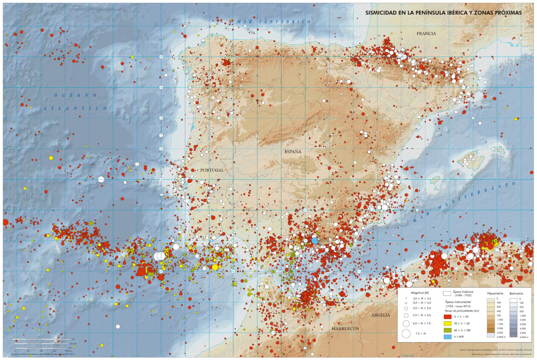
Natural risks are classified in turn based on the natural system in which they occur, resulting in the following classification:
- Extraterrestrial hazards: such as variations in solar radiation rates, solar storms, solar wind, and meteorite impacts.
- Atmospheric risks: these include meteorological risks (frost, heat waves, hailstorms, tropospheric ozone, etc.) and climatic risks (climate change).
- Hydrological risks: due to excess water (floods) or water deficit (droughts).
- Geological hazards: either internal to the Earth (endogenous) or external to its surface (exogenous).
- Biological risks: including pests, epidemics, and forest fires, among others.
Consequences
Natural risks have very different consequences in each region, depending on the greater or lesser incidence of hazardous situations and the population exposed to them. Therefore, the expected losses in Spain as a result of natural disasters differ from one geographical area to another. They are practically nil in some sparsely populated areas, but reach very high values on the coast, around major cities, and in certain regions exposed to significant risks.
Risk Assessment Methodology
Risk assessment involves systematically using available information to determine the likelihood of certain events occurring, as well as the magnitude of their potential consequences. In general, it is said that this process encompasses the following:
- Identify the nature, location, intensity, and probability of a threat
- Determine the existence and degree of vulnerability and exposure to those threats
- Define the capabilities and resources available to confront or manage threats
- Determine the acceptable level of risk.
The steps to follow are as follows:
- Threat assessment
- Vulnerability
- Risk analysis
Threat Assessment
Establishes the geographical location, intensity, and probabilities of occurrence of a specific risk event. The objective of threat assessment is to establish the probability that a specific threat will occur within a given future period, as well as its intensity and impact zone.
Information gathering. Definition of threats and their magnitude.
The objective of this stage is to know the probable location of natural phenomena that could occur, as well as their severity. It is carried out through inventories of phenomena conducted participatively, field observations and measurements, analysis and review of available scientific information (maps, aerial photos, reports, etc.).
Estimation of the probabilities of occurrence of events
Once the threats are defined, the relative probability of an event occurring is determined. The relative probability of occurrence of an event can be estimated based on the specialist's experience and the evidence of the activity and intensity of the phenomenon.
- Return periods
The development of threat maps must take into account both frequent and infrequent phenomena. Return periods not exceeding 500 years will be taken, since, on the one hand, it will be very difficult to imagine what such an event could be and, on the other hand, such events would have too weak a probability to be considered in common planning tasks.
Threat Assessment Results
As a result of the threat (or hazard) assessment, two types of maps can be generated:
- Inventory maps of phenomena
- Indicative maps of threats or dangers
Vulnerability
The assessment of vulnerability is the indispensable complement to the assessment of threats. It is the process by which the level of exposure and predisposition to damage and losses is determined, in the face of a specific threat, and arises as a consequence of the interaction of a series of factors and characteristics (external and internal) that converge in a particular community or area.
This interaction of factors is known as global vulnerability. This global vulnerability can be divided into several vulnerabilities or vulnerability factors, all of which are interrelated: physical or structural vulnerability; economic, social, and environmental vulnerability factors. (Wilches- Chaux, 1993).
The vulnerability of assets exposed at a specific site to a specific threat could be characterized by:
- V(mi): Specific vulnerability, or percentage of the exposed value that would be lost in the event of an impact of mi magnitude
Risk analysis
A risk analysis consists of estimating the probable losses for the different possible hazardous events. Evaluating risk involves relating threats and vulnerabilities to determine the social, economic, and environmental consequences of a specific event, in order to propose mitigating measures.
The Risk (R) equation is then defined by: Ri = mi x P(mi) x V(mi)
Risk levels (R) are established that will define the actions to be considered, and that will be translated into actions and proposals in the design stage of the facility. The Risk assessment can be presented in the form of a matrix, so that all possible threats, the magnitude, and the vulnerability of the structure can be represented and evaluated jointly.
The threat ranges for the risk assessment parameters (m, P, and V) are defined according to the type of risk.
References: Methodological guide for the preparation of natural risk maps in Spain
